Thursday, November 23, 2017

Iceland: A Walk in the Park


Þingvellir is a national park in the municipality of Bláskógabyggð in southwestern Iceland, about 40 km northeast of Iceland's capital, Reykjavík.  There is a great walk here through an exciting variety of terrains...


Famous Islands: Ring Road Adventure in Iceland


History of Iceland Parts 1 and 2


Iceland has a marvelous ring road with many interesting side trips now available through Google Streetview...  


Drone in Iceland - Ring Road Travel Guide - DJI Phantom


You can start your journey anywhere, but I began in the far north, near the town of Akureyri, heading north and then west down Route 1 that will eventually get us to Reykjavik after a scenic journey with many optional side trips:


Wednesday, November 22, 2017

Famous Islands: the Faroe Islands


Floating lake ... Sørvágsvatn, the largest lake in the Faroe islands, looks as though it is suspended over the sea when viewed from Trælanípa. Photograph: Tom Archer @tomarcherphoto     


The rugged and majestic Faroe Islands are in the North Atlantic about halfway between Norway and Iceland.


Watch the natural beauty of Faroe Islands moving in timelapse: 


An award winning documentary about the inhabitants of the Faroe Islands, their struggles with difficult living conditions, clashes with nature, ocean, climate, isolation and hunger:


A brief history of the Faroe Islands from their official website:

History of the Faroe Islands

 The Icelandic Times also provides an excellent...

History of the Settlement of the Faroe Islands


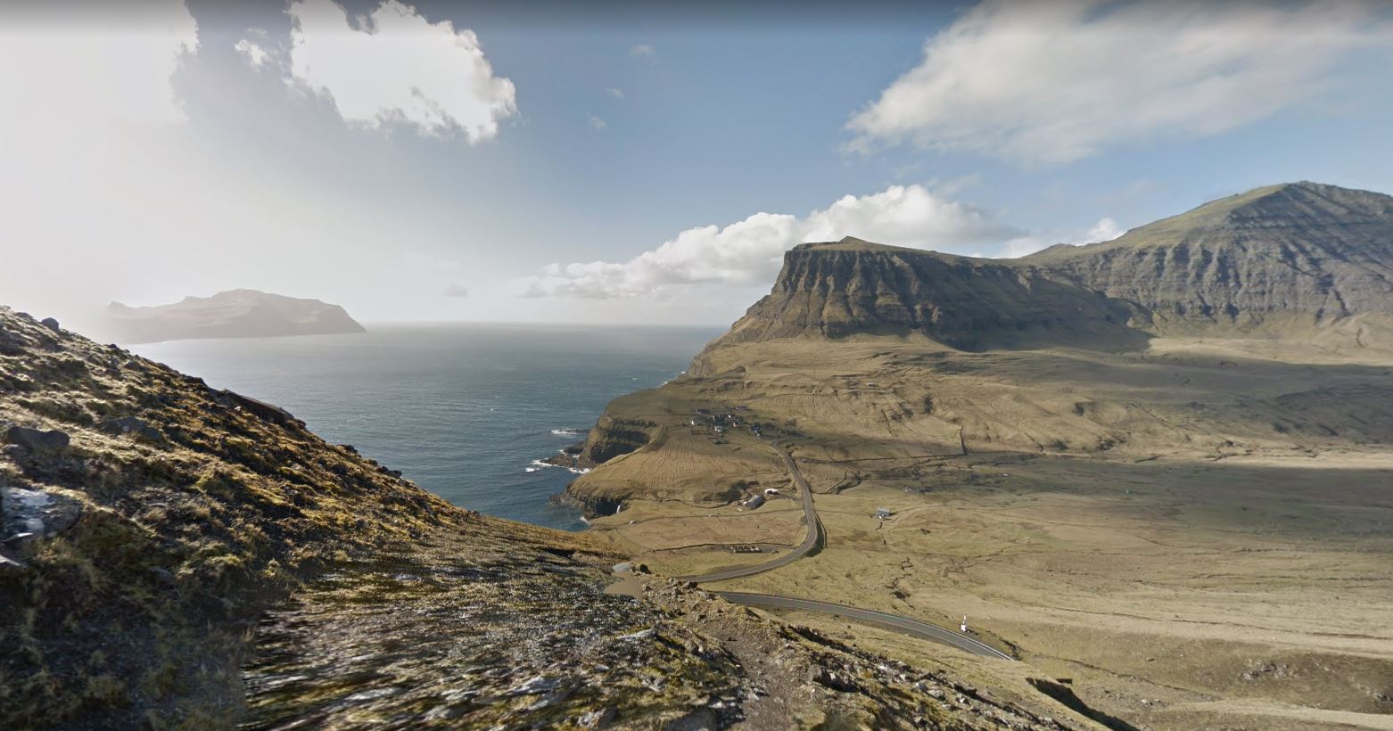
 near the town of Gasadalur 


Admire the view then turn around and start the climb!


After a long, hard climb you get this vista 
with the town of Gasadalur in the distance...


 Choose from many roads and trails 
on Vágar Island in the Faroe Islands... 
 
 
Or many other locations in the Faroe Islands... 


Tuesday, November 21, 2017

Two More Great High North Hikes

There are two more great Google hikes in the Canadian High North, at Grise Fiord on the south coast of Ellesmere Island and at Resolute on Conwallis Island...


This memorial is a moving tribute to the original Inuit Families who were relocated to desolate Grise Fiord by a government intent on asserting arctic sovereignty without thought for the human suffering involved:


RESOLUTE TRAIL

 
The other hike is located at Resolute on Cornwallis Island:


Monday, November 20, 2017

Amazing Hike in Quttinirpaaq National Park on Ellesmere Island


Quttinirpaaq National Park is a Canadian National Park. Located on the northeastern corner of Ellesmere Island in the Qikiqtaaluk Region of Nunavut, the most northerly extent of Canada, it is the second most northerly park on Earth after Northeast Greenland National Park. In Inuktitut, Quttinirpaaq means "top of the world".  It was established as Ellesmere Island National Park Reserve in 1988, and the name was changed to Quttinirpaaq in 1999, when Nunavut was created, and became a national park in 2000. The reserve covers 37,775 square kilometres (14,585 sq mi), making it the second largest park in Canada, after Wood Buffalo National Park. (from Wikipedia Article:  Quttinirpaaq National Park)

 Watch a Parks Canada staff member collecting Street View images with the Google Trekker backpack camera. Incredible scenery on Ellesmere Island in northern Canada, just shy of the North Pole:


Canadian Geographic Article:


 On the shore of the Fjord 


Here are some higher views showing the area of the trail in light blue...


Took this picture looking back down the fjord that the trail runs beside:


Friday, October 13, 2017

Yellowknife Highway Adventure

Drive the amazing Yellowknife Highway in Canada's Northwest Territories from it's start near Fort Providence then north to the city of Yellowknife...


Wednesday, September 13, 2017

Famous Islands: Cape Breton Island, Nova Scotia, Canada


Cape Breton Island is the northern tip of the province of Nova Scotia in Canada:


The Cabot Trail is a ring road that provides magnificent vistas of the sea and the highlands of Cape Breton Island: 


All of the great Street View routes on Cape Breton Island:


Aerial View of the Cabot Trail


 History of Nova Scotia including Cape Breton Island


Now you can use Google Street View to drive the Cabot Trail on a lovely day!


 Just north of Cheticamp there is a wonderful side trip to take down the Skyline Trail:


Start at the Skyline Trailhead:
 

 Or just take in the spectacular view near the end of Skyline Trail, including a seaside section of the Cabot Trail itself:


Cape Breton Island also features the excellent Fortress of Louisbourg Reconstruction which is well worth a visit.


Fortress of Louisbourg Under Siege

(National Film Board of Canada) 


We start our walking tour of the fortress at the Main Gates:


 Or enter the main fortress:


Pacific Crest Trail

  Official Pacific Crest Trail Website :  A good overview of the entire Pacific Crest Trail: This Pacific Crest Trail thru hike documentary ...