Þingvellir is a national park in the municipality of Bláskógabyggð in southwestern Iceland, about 40 km northeast of Iceland's capital, Reykjavík. There is a great walk here through an exciting variety of terrains...
Thursday, November 23, 2017
Iceland: A Walk in the Park
Þingvellir is a national park in the municipality of Bláskógabyggð in southwestern Iceland, about 40 km northeast of Iceland's capital, Reykjavík. There is a great walk here through an exciting variety of terrains...
Famous Islands: Ring Road Adventure in Iceland
Iceland has a marvelous ring road with many interesting side trips now available through Google Streetview...
Drone in Iceland - Ring Road Travel Guide - DJI Phantom
You can start your journey anywhere, but I began in the far north, near the town of Akureyri, heading north and then west down Route 1 that will eventually get us to Reykjavik after a scenic journey with many optional side trips:
Wednesday, November 22, 2017
Famous Islands: the Faroe Islands
 | |||||
| Floating lake ... Sørvágsvatn, the largest lake in the Faroe islands, looks as though it is suspended over the sea when viewed from Trælanípa. Photograph: Tom Archer @tomarcherphoto |
The rugged and majestic Faroe Islands are in the North Atlantic about halfway between Norway and Iceland.
Watch the natural beauty of Faroe Islands moving in timelapse:
An award winning documentary about the inhabitants of the Faroe Islands, their struggles with difficult living conditions, clashes with nature, ocean, climate, isolation and hunger:
A brief history of the Faroe Islands from their official website:
History of the Faroe Islands
The Icelandic Times also provides an excellent...
History of the Settlement of the Faroe Islands
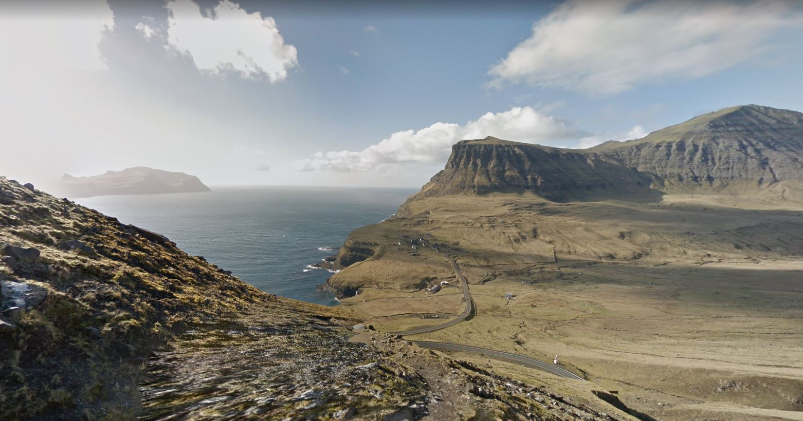
with the town of Gasadalur in the distance...
Tuesday, November 21, 2017
Two More Great High North Hikes
Monday, November 20, 2017
Amazing Hike in Quttinirpaaq National Park on Ellesmere Island

Quttinirpaaq National Park is a Canadian National Park. Located on the northeastern corner of Ellesmere Island in the Qikiqtaaluk Region of Nunavut, the most northerly extent of Canada, it is the second most northerly park on Earth after Northeast Greenland National Park. In Inuktitut, Quttinirpaaq means "top of the world". It was established as Ellesmere Island National Park Reserve in 1988, and the name was changed to Quttinirpaaq in 1999, when Nunavut was created, and became a national park in 2000. The reserve covers 37,775 square kilometres (14,585 sq mi), making it the second largest park in Canada, after Wood Buffalo National Park. (from Wikipedia Article: Quttinirpaaq National Park)
Watch a Parks Canada staff member collecting Street View images with the Google Trekker backpack camera. Incredible scenery on Ellesmere Island in northern Canada, just shy of the North Pole:
Here are some higher views showing the area of the trail in light blue...
Took this picture looking back down the fjord that the trail runs beside:
Teotihuacan, Mexico
Panorama from the Pyramid of the Moon Teotihuancan (pronounced tay-oh-tee-wah-KAHN) is locate d just northeast of Mexico City: Teotihuanc...

-
Preikestolen (Pulpit Rock) is a stunning viewpoint high above the Lyse fiord on the southwest coast of Norway near Stavenger: ...
-
Pitcairn Island , final destination of the Bounty mutineers , and sometimes called the remotest place on earth. The mutineers burned th...
-
Alnwick Castle is on the east coast of Scotland and was first built following the Norman conquest. The castle guards a road crossing th...


